What to see around Cadiz
OLVERA, WHAT TO SEE?
The road comes first.
On the road to Olvera from Cadiz: or set off on a journey of around 120 kms, 1h30 by car heading northeast towards Seville.
Turn off towards Arcos de la Frontera and head into the Sierra Norte, at the beginning of the Cordière Bétique, the mountainous arc that stretches for almost 500 km from the Gulf of Cadiz to Murcia in the east.
A journey between mountains flanked by furrows with green dots and hills with yellow faces. Crossing rugged terrain: V-shaped valleys and ravines.
Racing down long straights at nearly 100 kph. Slow your momentum with a succession of bends. Stopping in front of the rock of a white village: Olvera.
A journey to the rhythm of a traffic light.
And a physical upheaval. Head turns to the movement of the eyes, right left. Follows the road. Blushes: heat or wonder?
The white village to take the measure of the Arab presence.
Olvera: perched at an altitude of over 600 metres, this village dominates the province.
Its castle, built on the remains of an ancient Arab fortress, is imposing. In the distance, from the watchtower on the main square, I see a red dot. It's a shepherd, surrounded by lighter brown dashes. They're moving. Goats, no doubt. I think of the Spanish armies. It's hard to hide and advance towards the villages without being seen. The Spanish Reconquest took nearly 800 years? It makes sense.
Olvera is renowned for its olive cultivation, one of the village's main economic activities introduced by the Arabs when they arrived in the 8th century. The water sources in the valley are the reason for this. The land is fertile. The green dots seen on the road are all olive trees. Thousands of them. Renowned oils that give rise every spring, at the end of March or April depending on the season, to the "Feria del olivar y del aceite".. Extra-virgin, cold-pressed... there's no shortage of varieties.
At the Tourist Office, I meet a local. He doesn't play the market huckster. He's unpacking his passion:
"Take this one, it's the 'Picual'. If you like bitter and pungent tastes, it's for you."
Do you like baking cakes? Then I recommend the "Hojiblanca". You'll see, the oil is sweeter and fruitier. It tastes like almonds. My grandmother used it a lot. Ah, her chocolate cake, the best!
"And to season your salads, because you women love salads, I recommend Arbequina. It's as sweet as Hojiblanca, as bitter as Picual, but with a hint of fresh grass."
And here I am again, happy with a Los Remedios oil, named after the town's patron saint, the "Virgen de los Remedios" (Our Lady of Remedies). Named after the cooperative that supplies the entire region.
And not only that, but you can also ➽ ORDER ONLINE
What more is there to say about Olvera?
Beware, one cliché after another. Obligatory for a white village:
Alleys? Originally winding to hinder enemy movement
Facades? White to reflect light and keep interiors cool
White? To demonstrate the Moorish sense of aesthetics and mastery of architecture.
Symbolic? White is often associated with purity, peace and light.
By painting facades white, the Arabs express their desire to live in a healthy, harmonious environment.
Eli had this to say:
"What makes the village white is the combination of these very simple white houses with no frills, and this low angle. It's incredible and very beautiful.
I don't want to tell the story of Olvera, that's not the purpose of my journey. My journey is the road and its encounters. To others, I leave the use of qualifiers and adjectives.
The natural heritage of the province of Cadiz is something the Gaditans can be proud of.
I often stopped at the side of the road. I've left the car on one side, crossed to the other. I heard the crickets, skirted a fence to reach the middle of the olive trees. I left, hurried by the arrival of an Andalusian sheepdog.
I feel like a fool, helpless, at a loss for words to express my emotions.
I can't get enough of the province's beauty. Quite simply. So, I give you images 👇
BAY OF CADIZ NATURE PARK: BIKE RIDE
Salt flats, migratory and aquatic birds, flora, tidal channels, wetlands. A vast 10,522-hectare ecosystem to explore by bike.
When we arrive in Cadiz from Seville by train, bus or car, before we see the sea, we see salt flats with a few abandoned houses along the road. In fact, this very spot was used as a film set to depict a district of Havana.
These salt flats have always intrigued me, and I've always wondered how to get there. Since last year, the "Junta de Andalucia" has extended the cycle paths behind La Cortadura beach.
You can now cycle from the "casco antiguo" (historic center) to the salt flats and take a day trip.
One Sunday, I rented my machine from " Las Bicis Naranjas "(the orange bikes) on Sagasta Street from my PC for €16 a day; €15 if you go directly to the site.
I'm there when it opens at 10 a.m. and 10 minutes later, I'm off to the saltworks, using the outside of the "casco antiguo" equipped with cycle paths to ride along the sea on the "Paseo Maritimo" (maritime walk) of "Puerta Tierra" (the second, modern part of Cadiz). A first beautiful 6-kilometer stroll. I arrive at the La Cortadura military residence, a tourist complex with swimming pool and tennis courts for military personnel and their families. The apartments overlook the ocean. Not bad...
I take the sidewalk that runs alongside the dual carriageway to find myself behind La Cortadura beach. Straight on for another 6 km, through the dunes, with the ocean on my right and the road on my left, before entering the "Parque natural de la Bahia de Cadiz", the Bay of Cadiz Natural Park.
I don't expect anything in particular, as I haven't asked about anything. I'm just curious about everything.
I follow the dirt track. The first kilometer, I'm thinking: " Yeah, abandoned houses, stagnant water, the road to the left, I'm not sure..." . I cross a bridge with a blue wooden gate, and then...
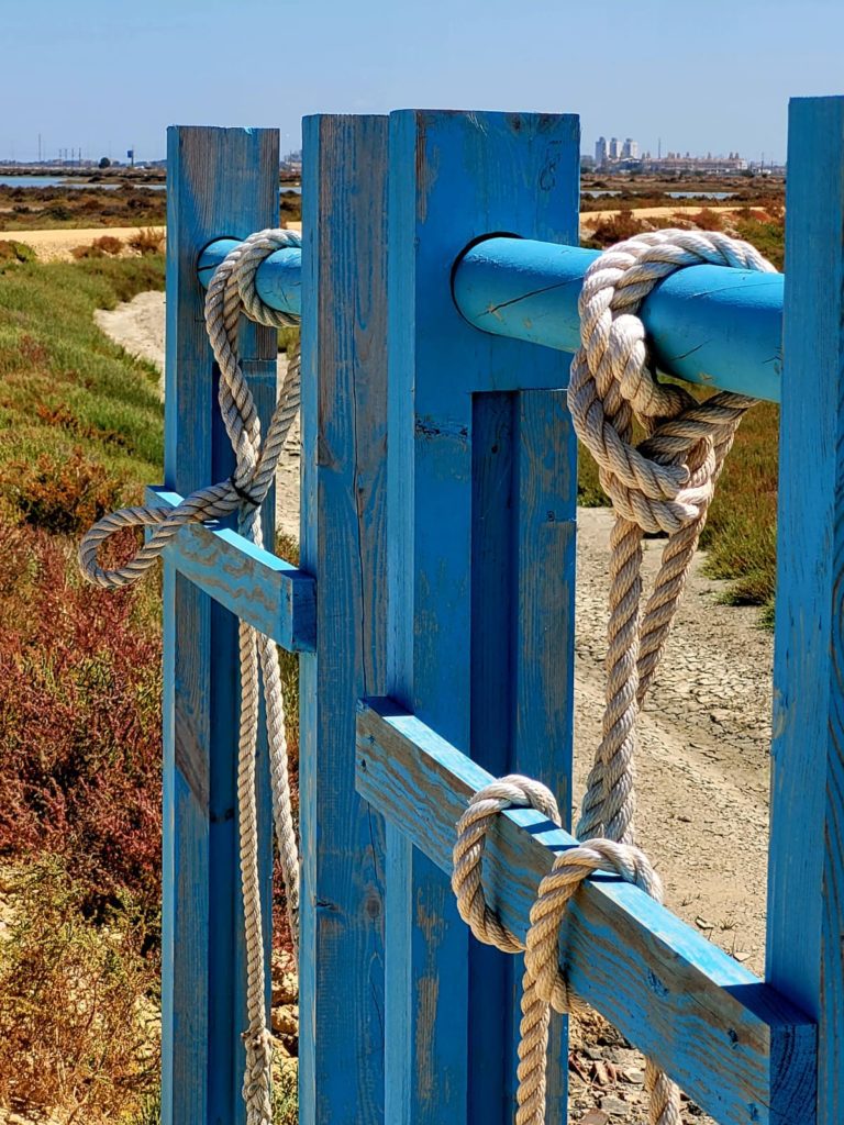
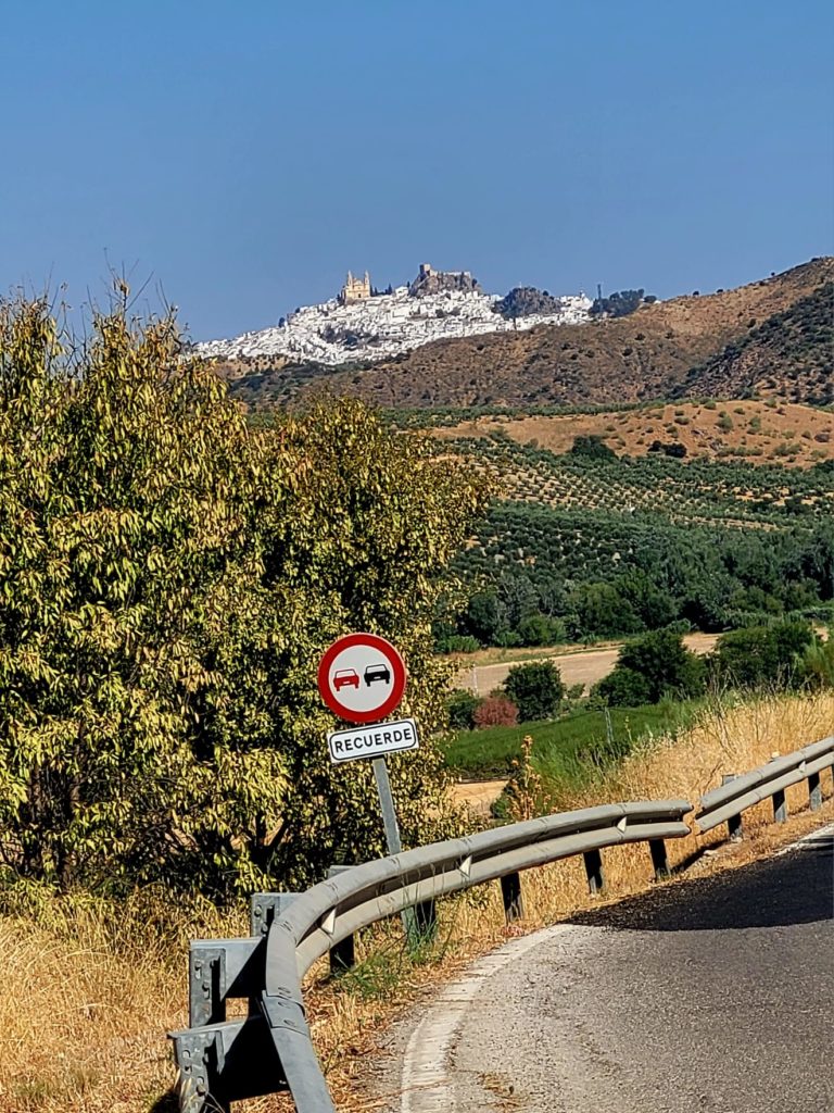
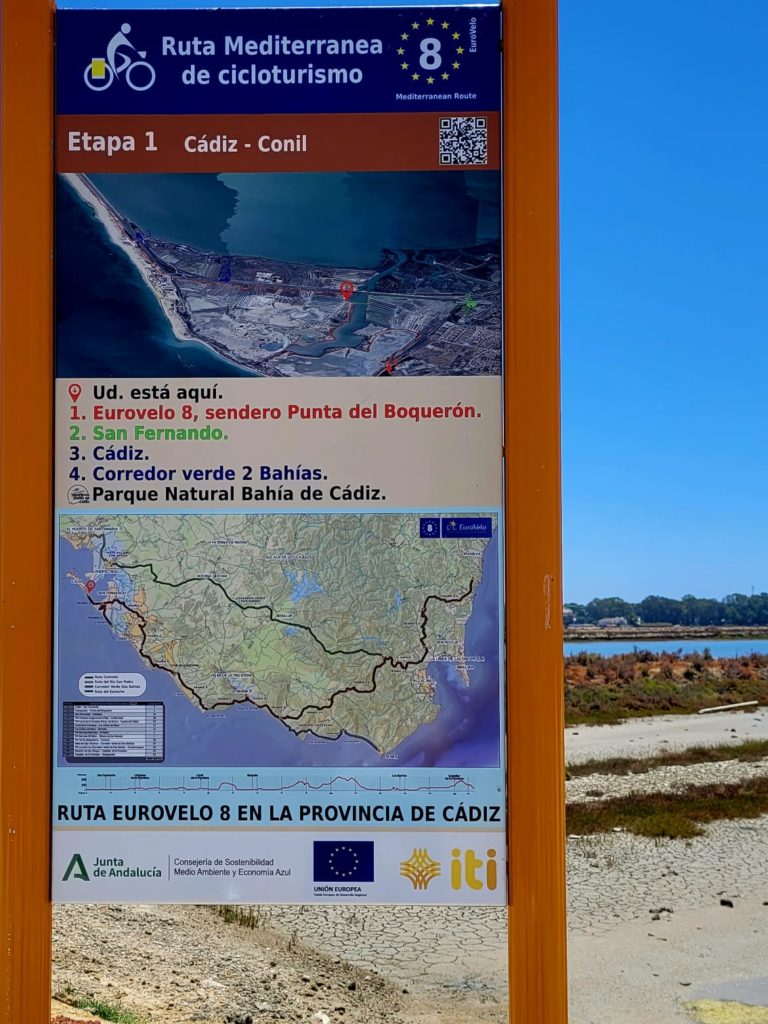
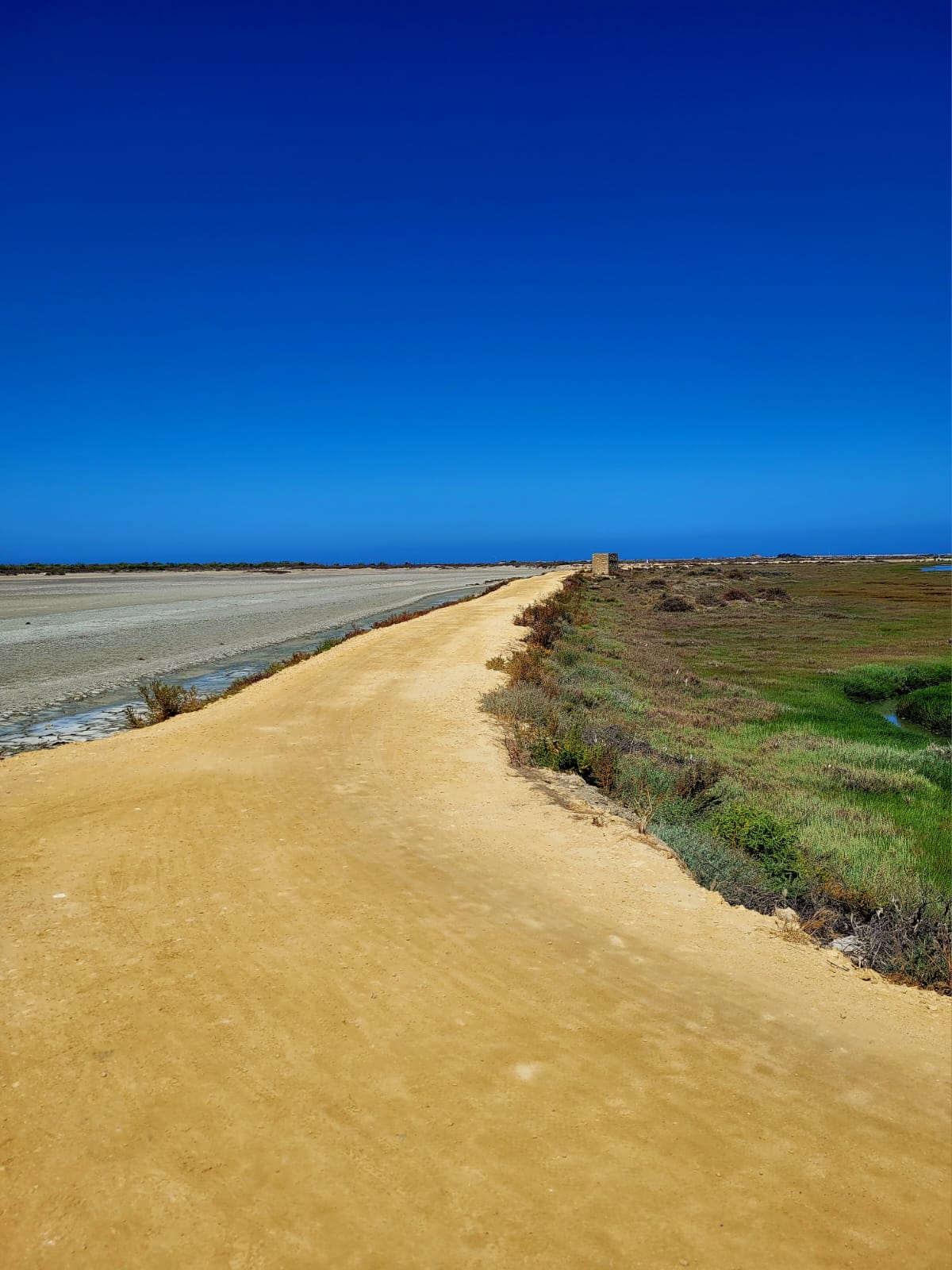
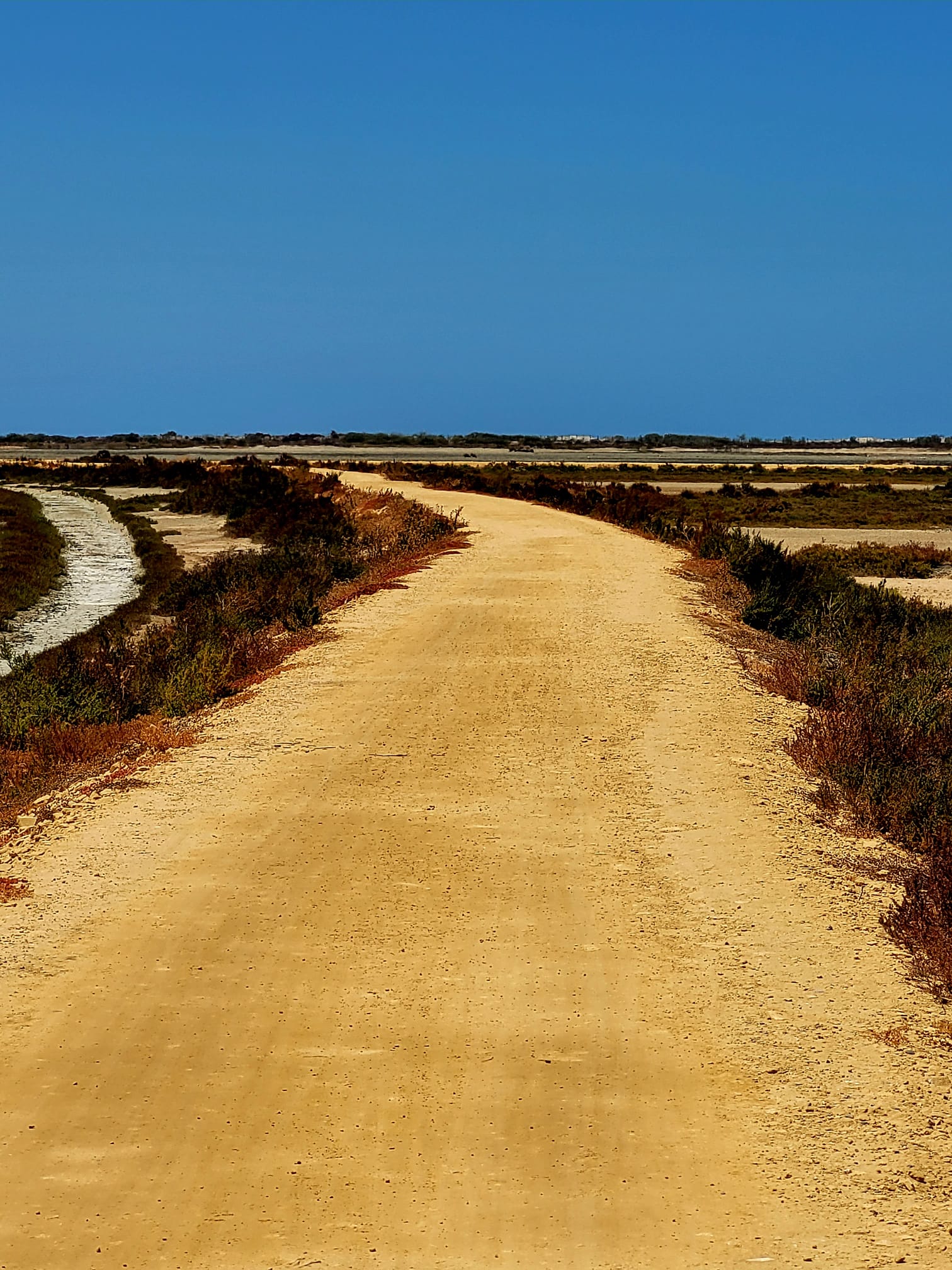
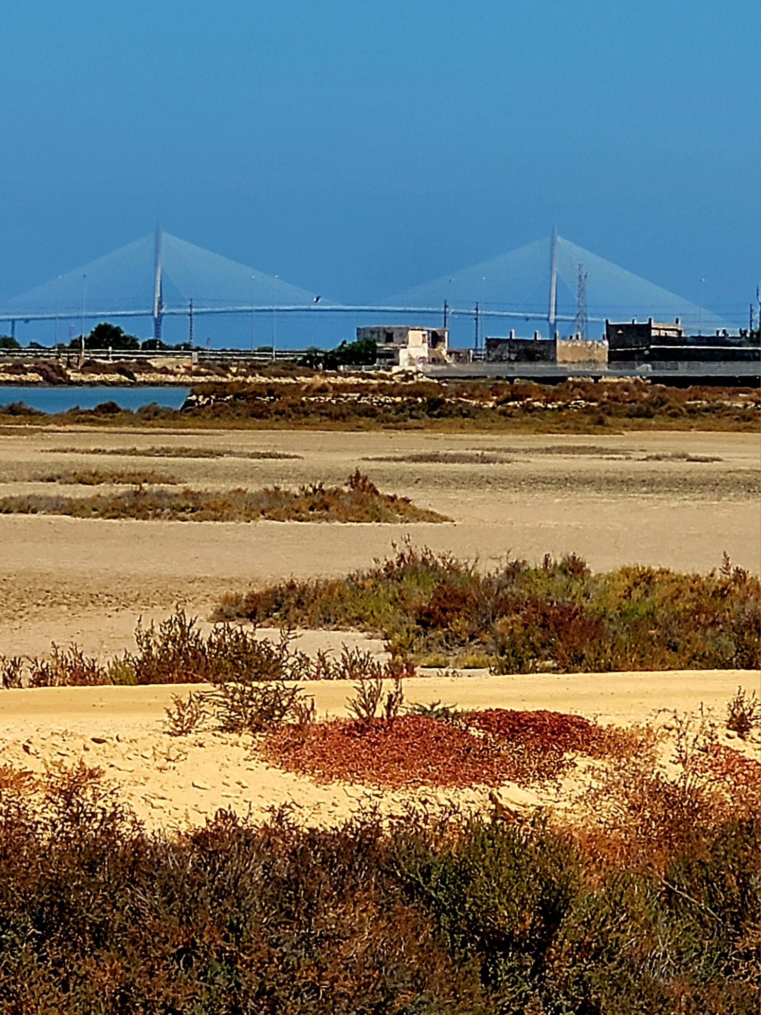
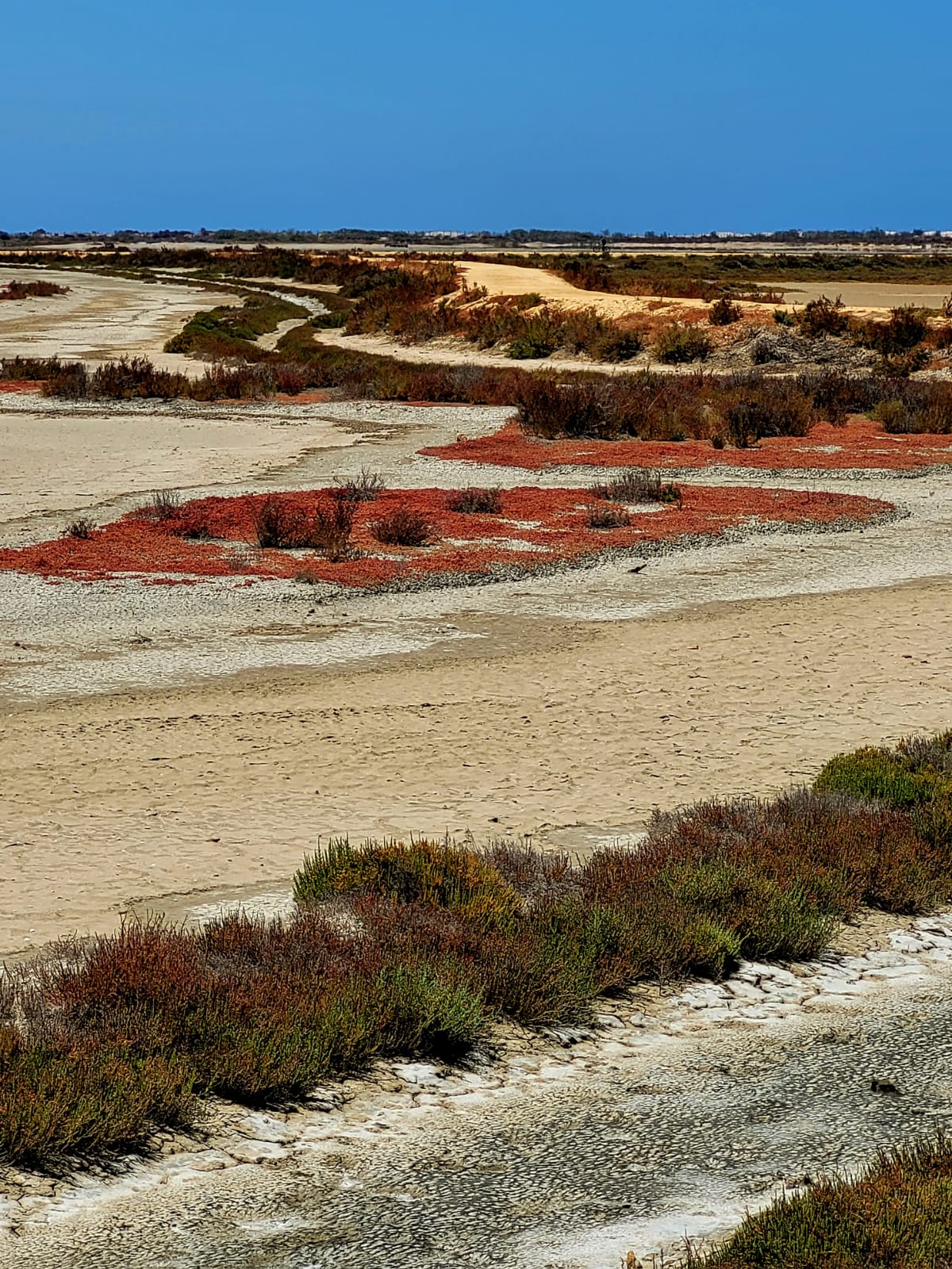
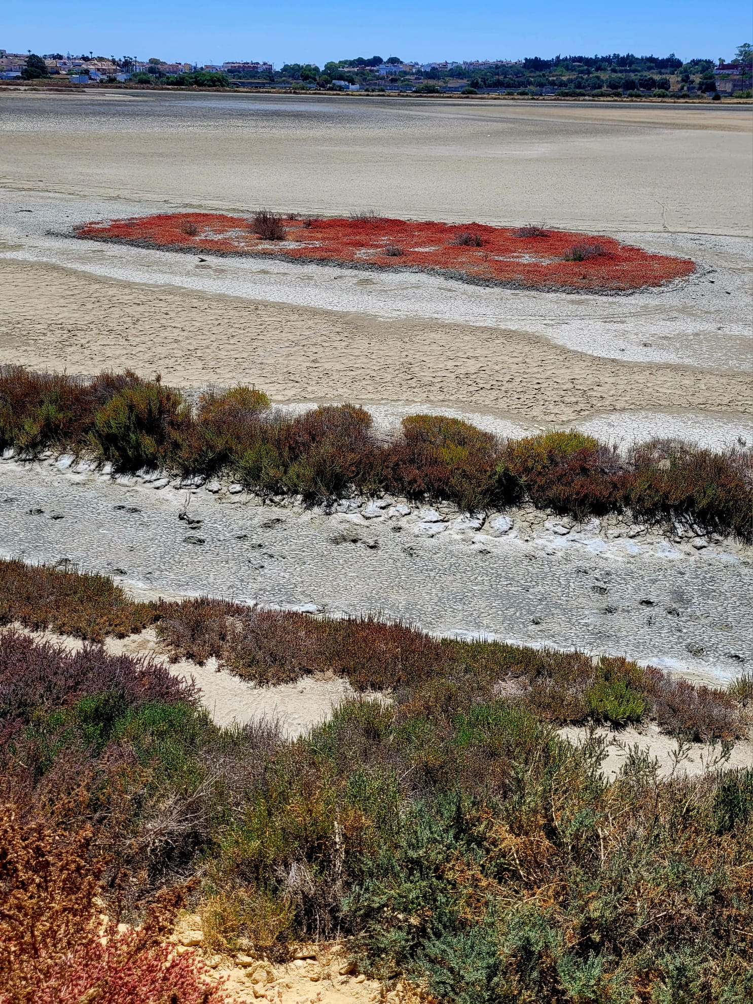
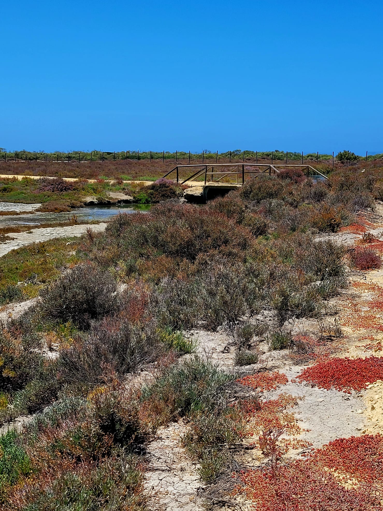
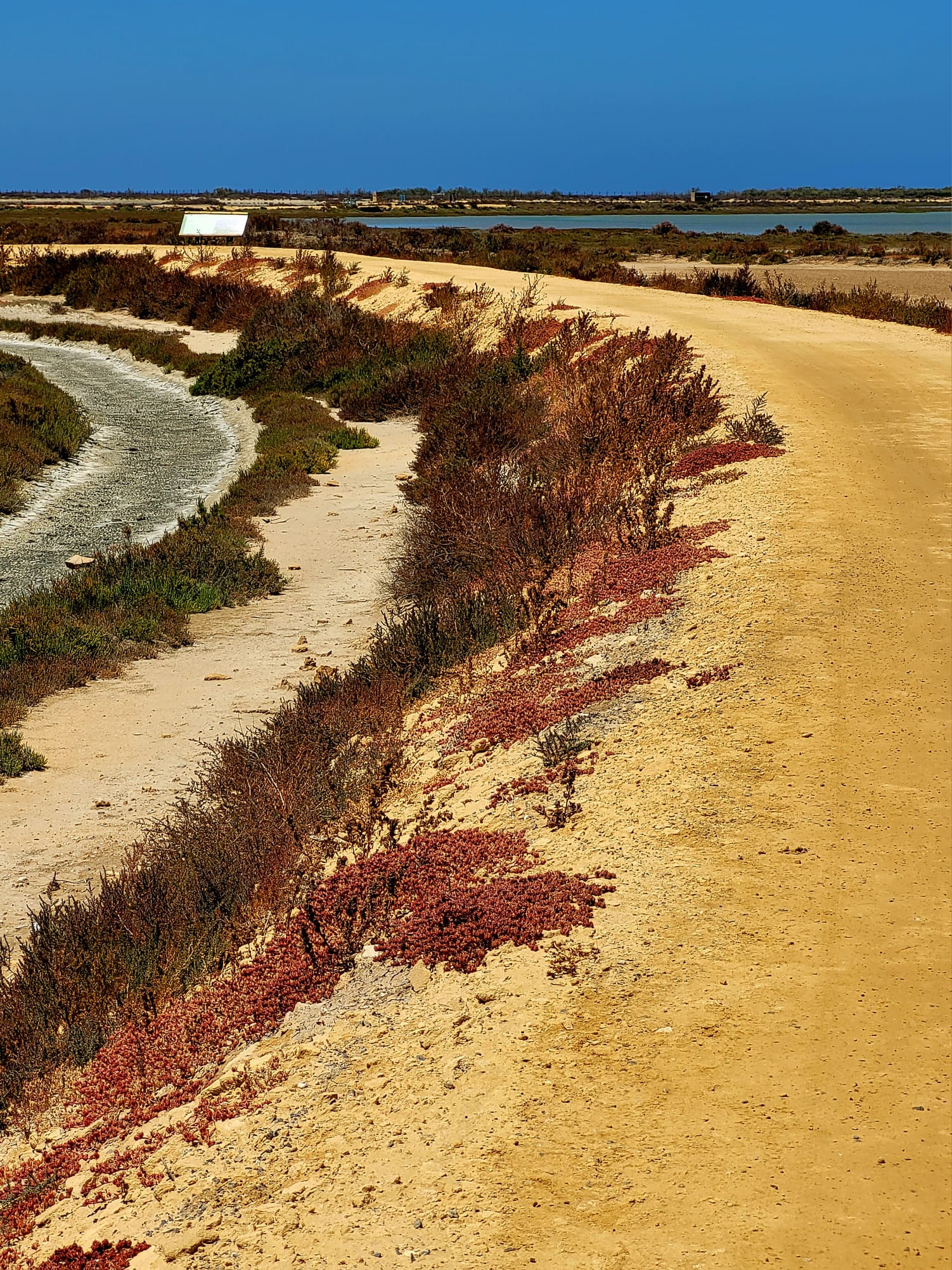
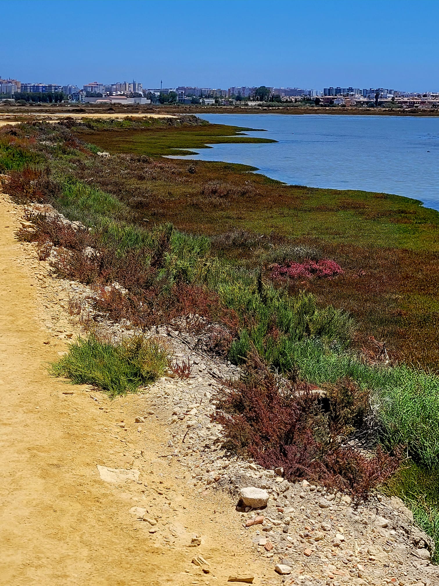
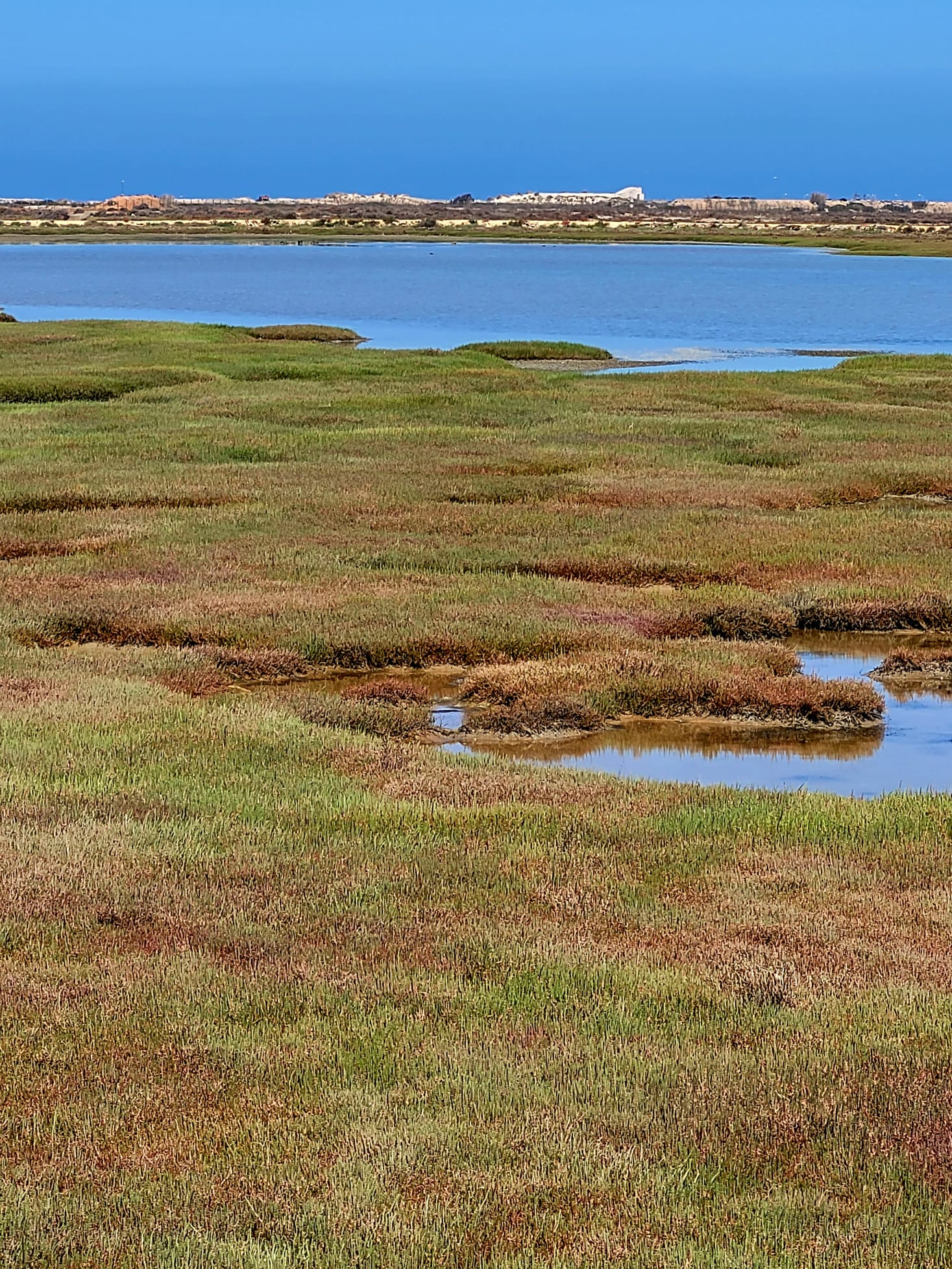
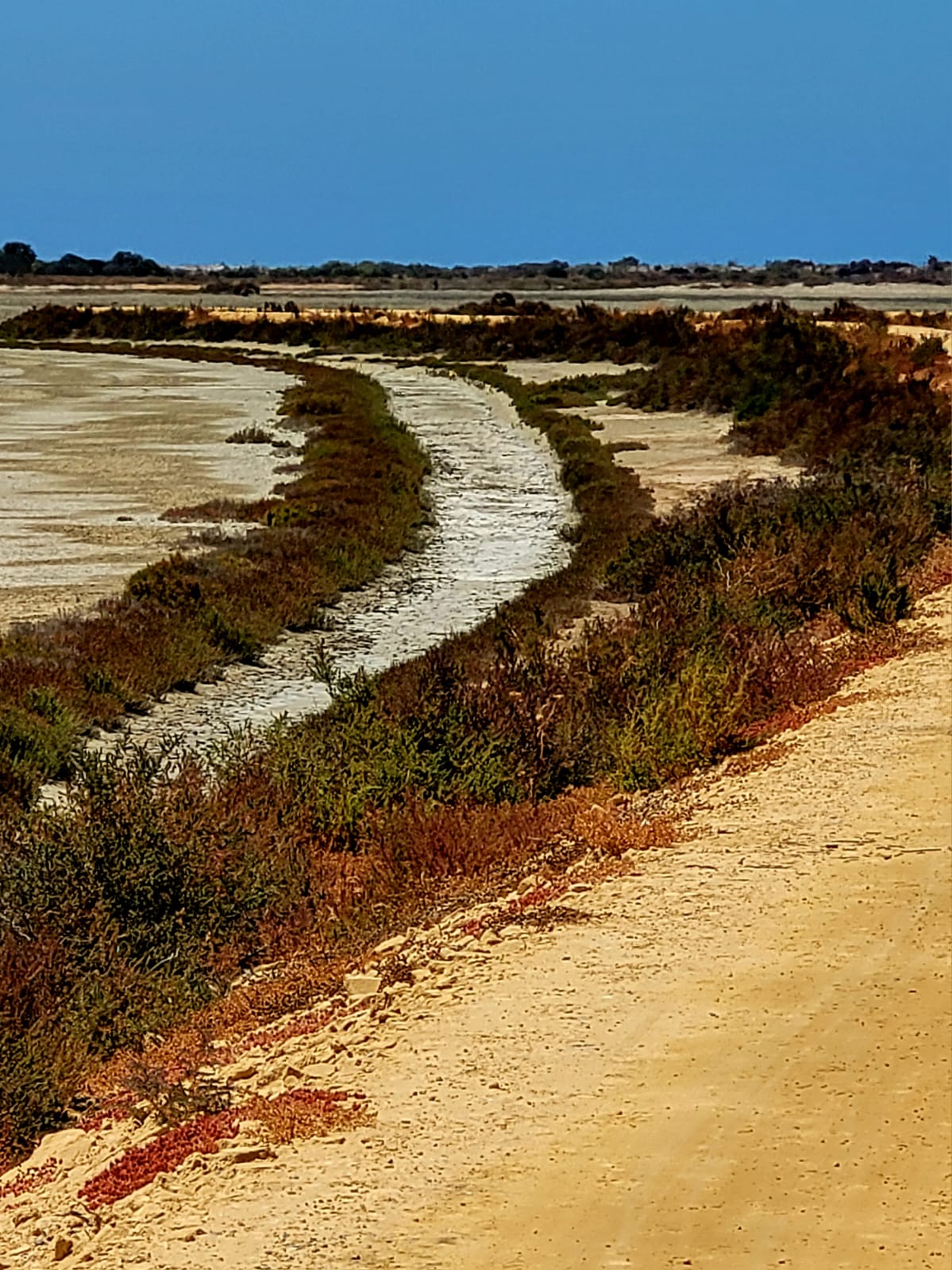
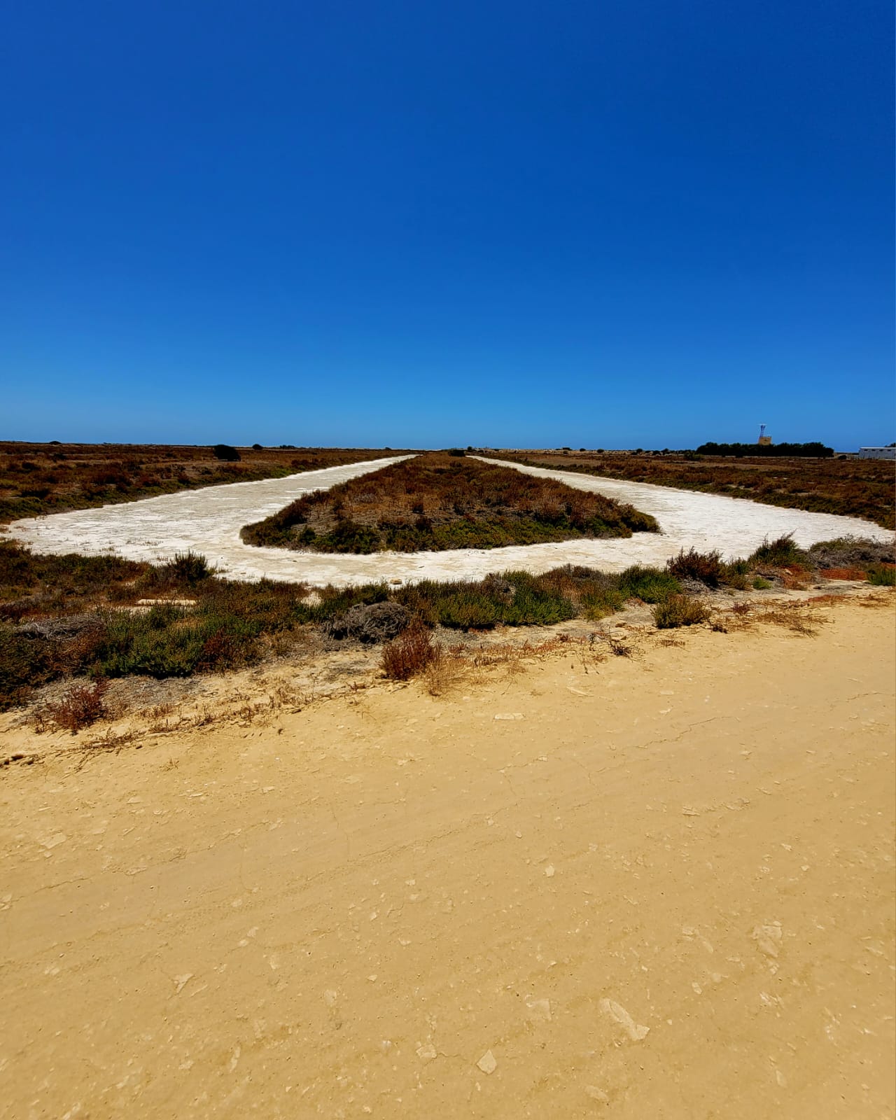
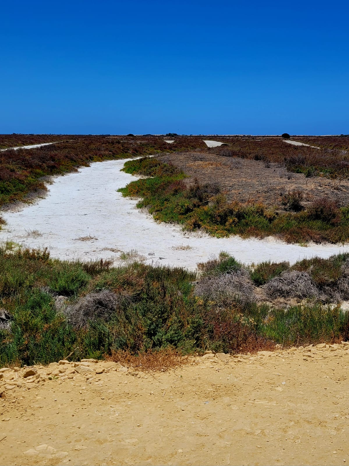
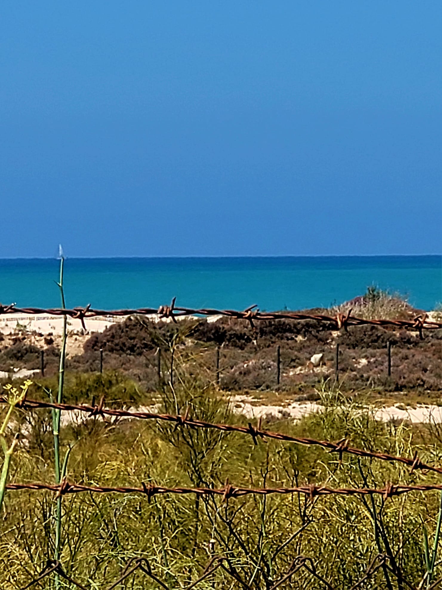
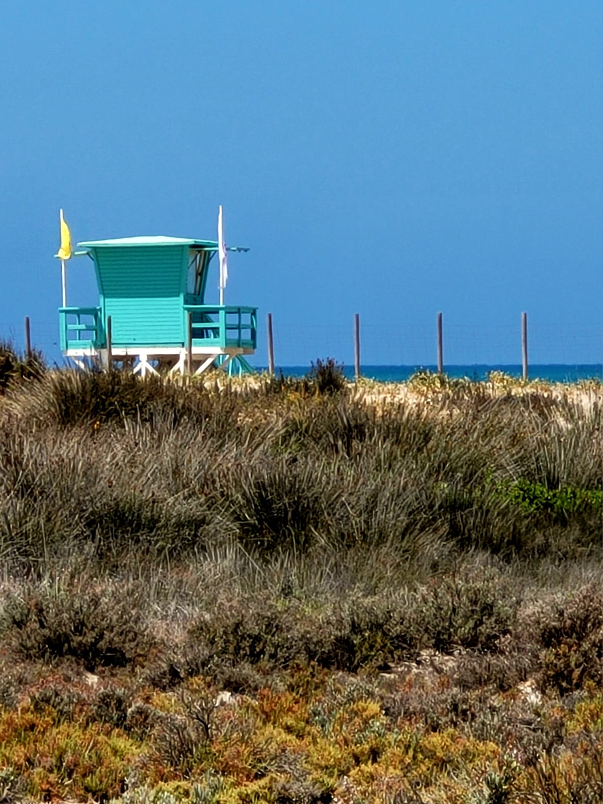
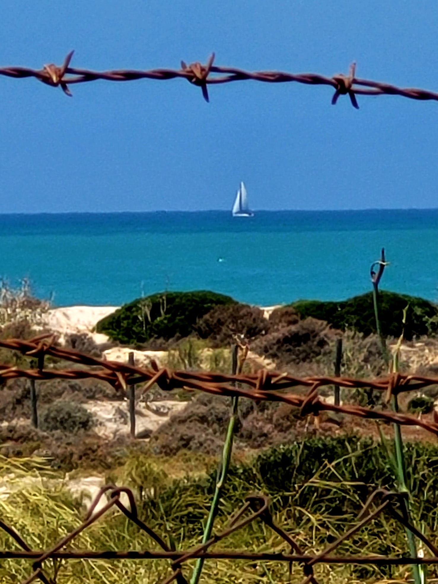
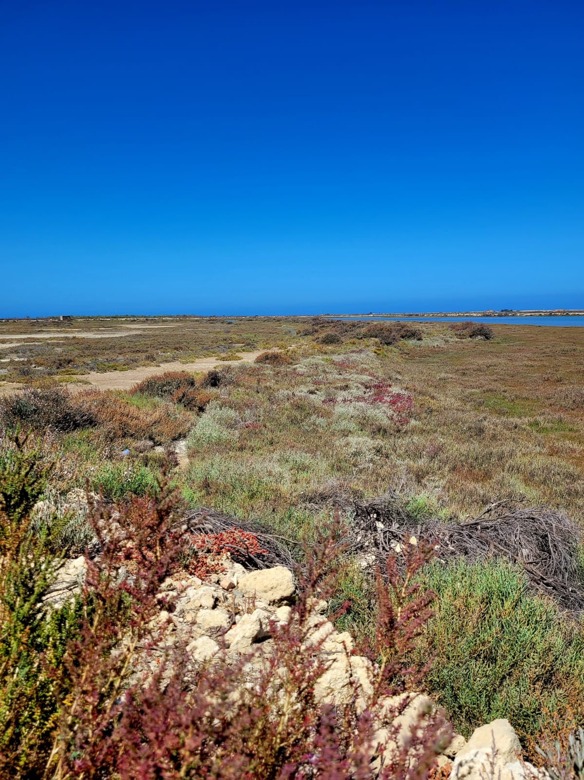
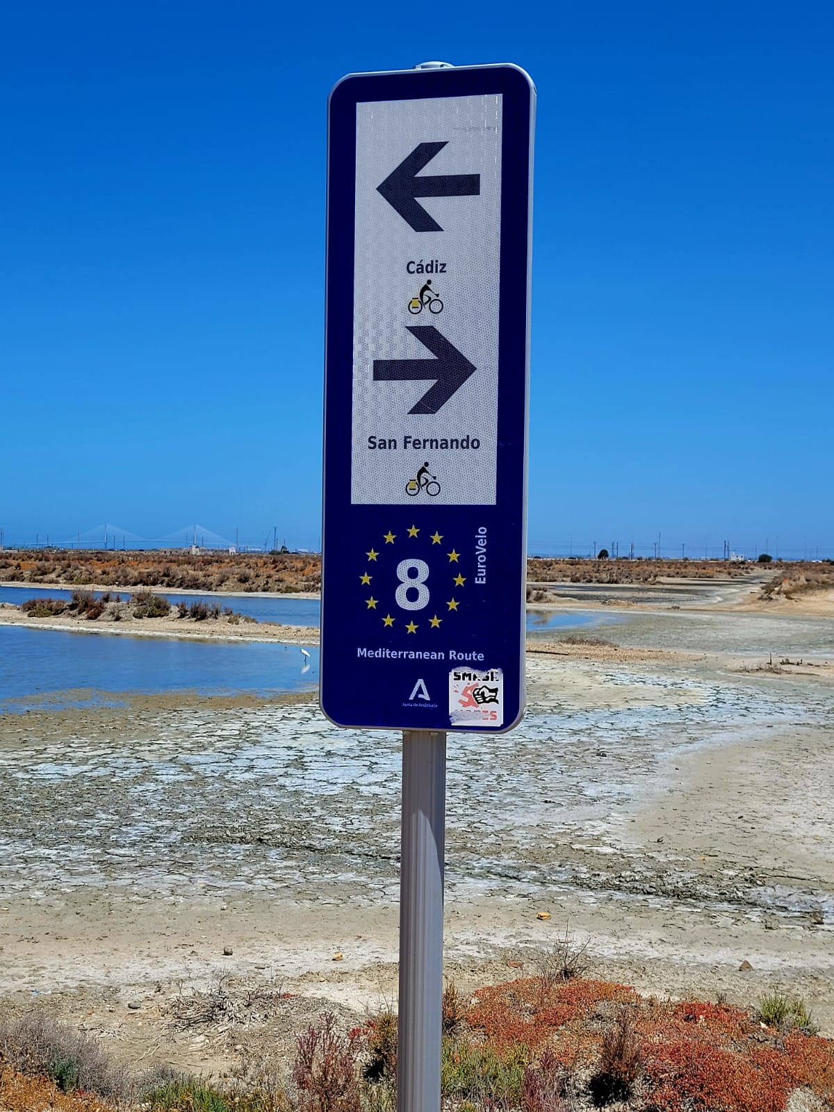
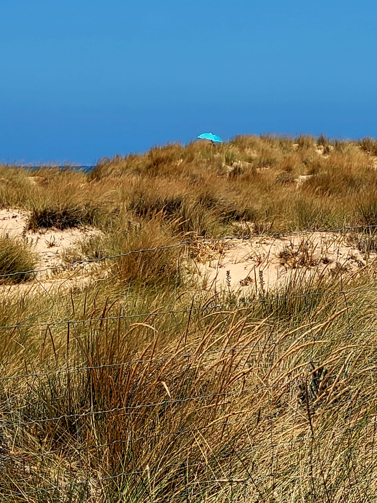
I'm in an exceptional natural setting with over 10 km of trails in the middle of the Bay.
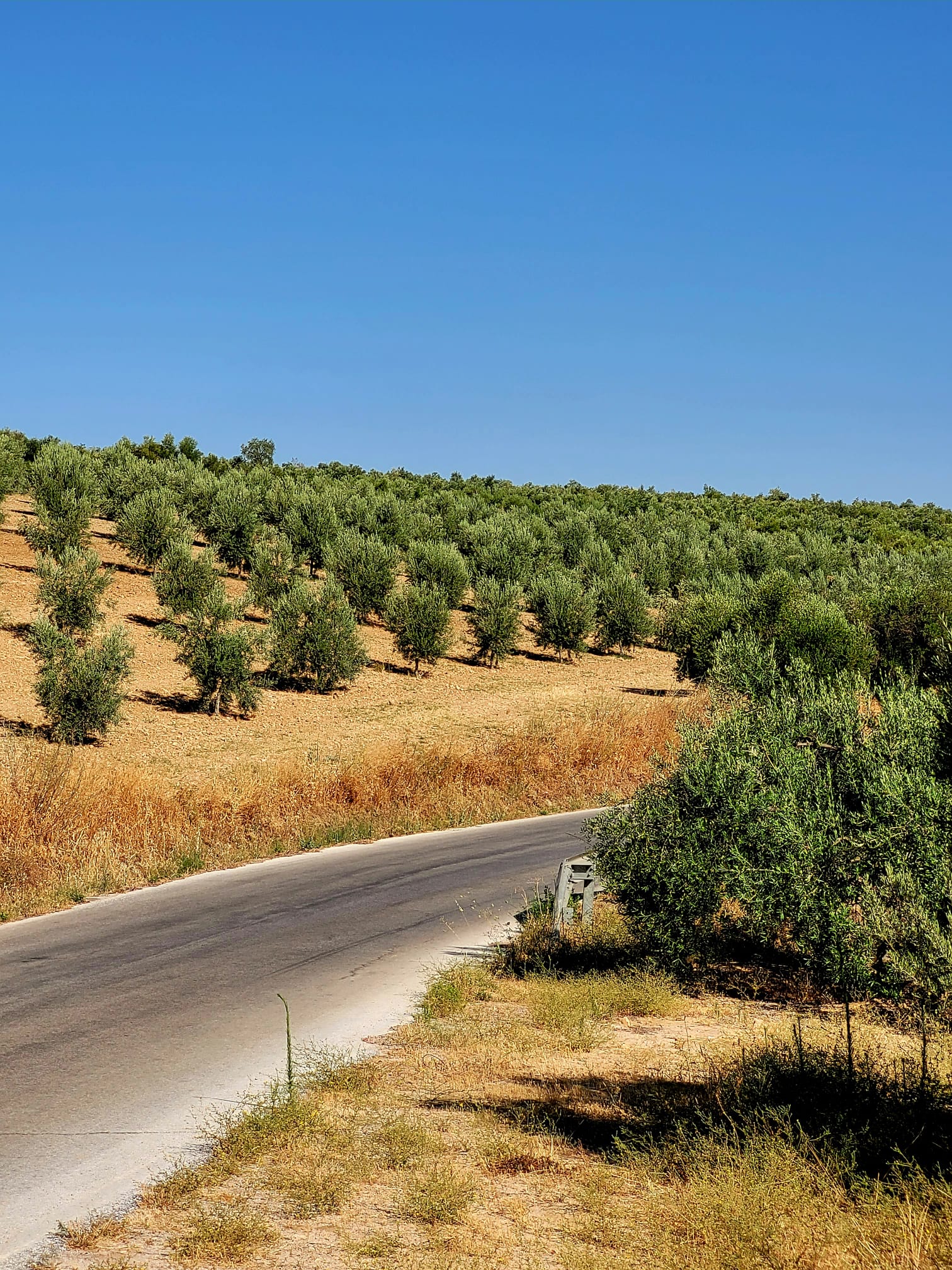
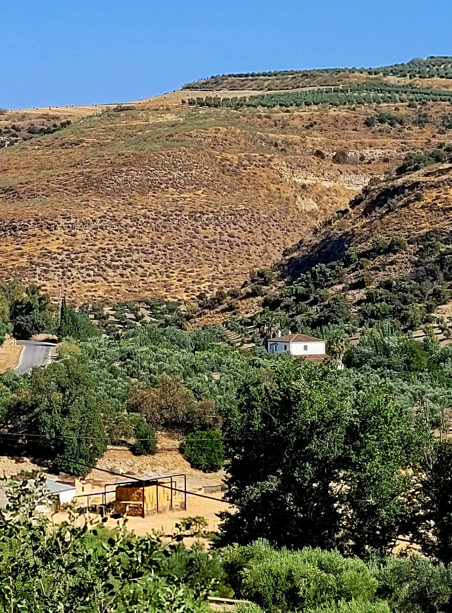
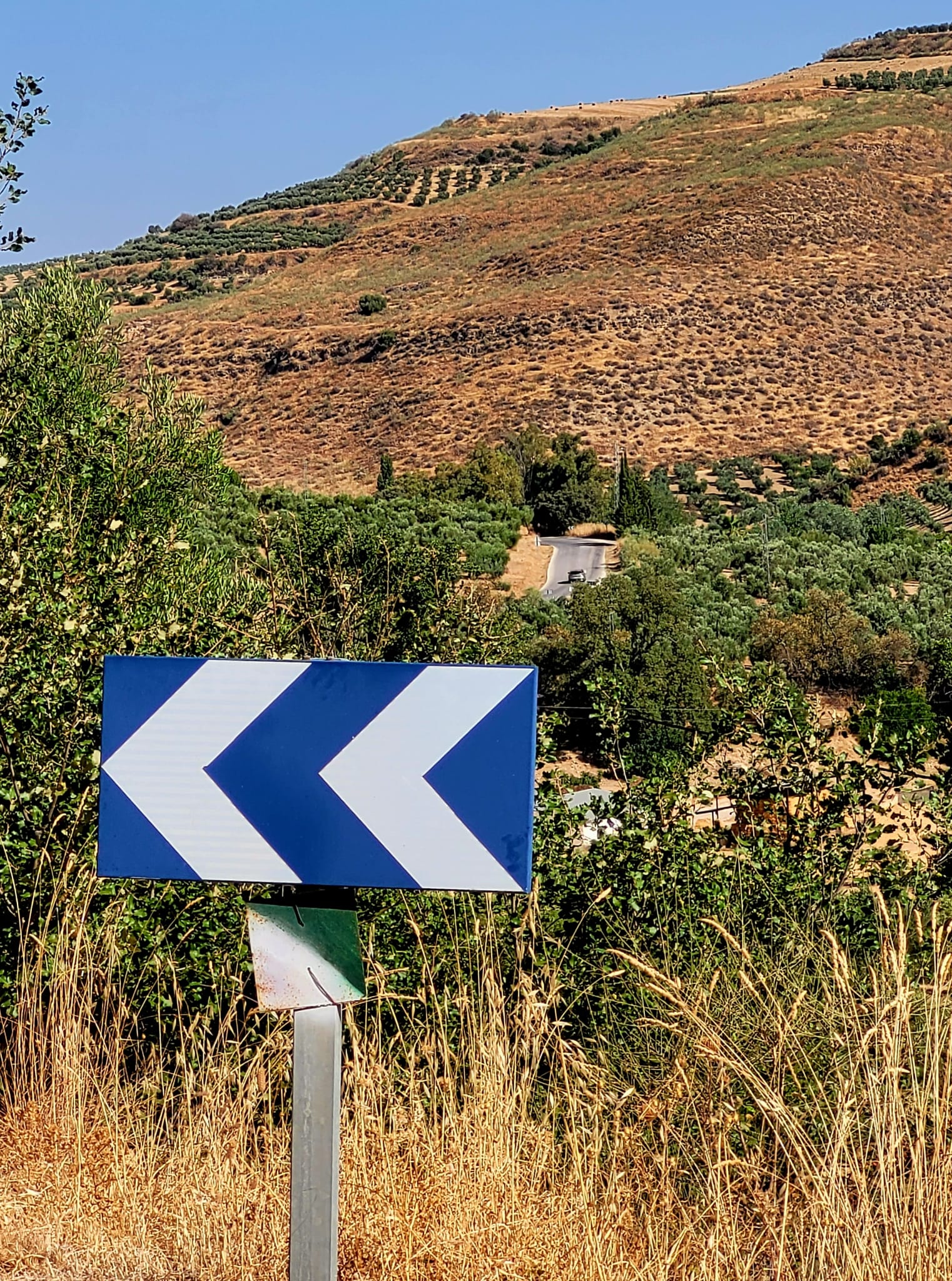
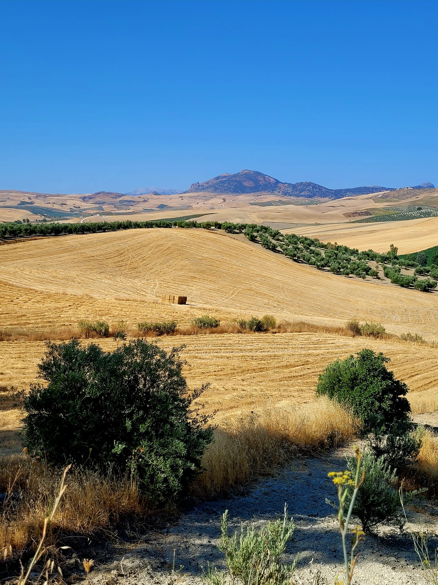
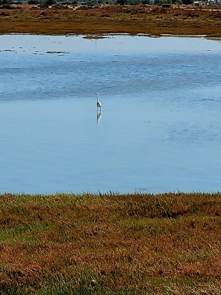
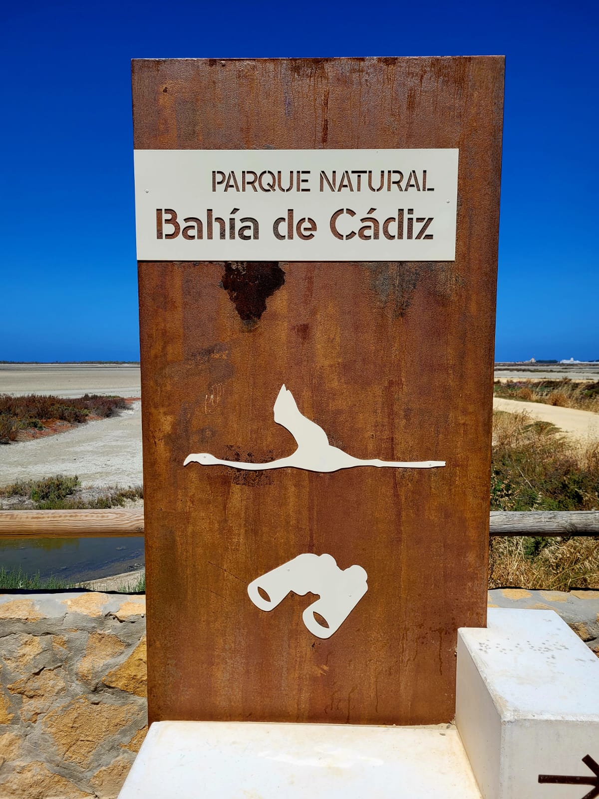
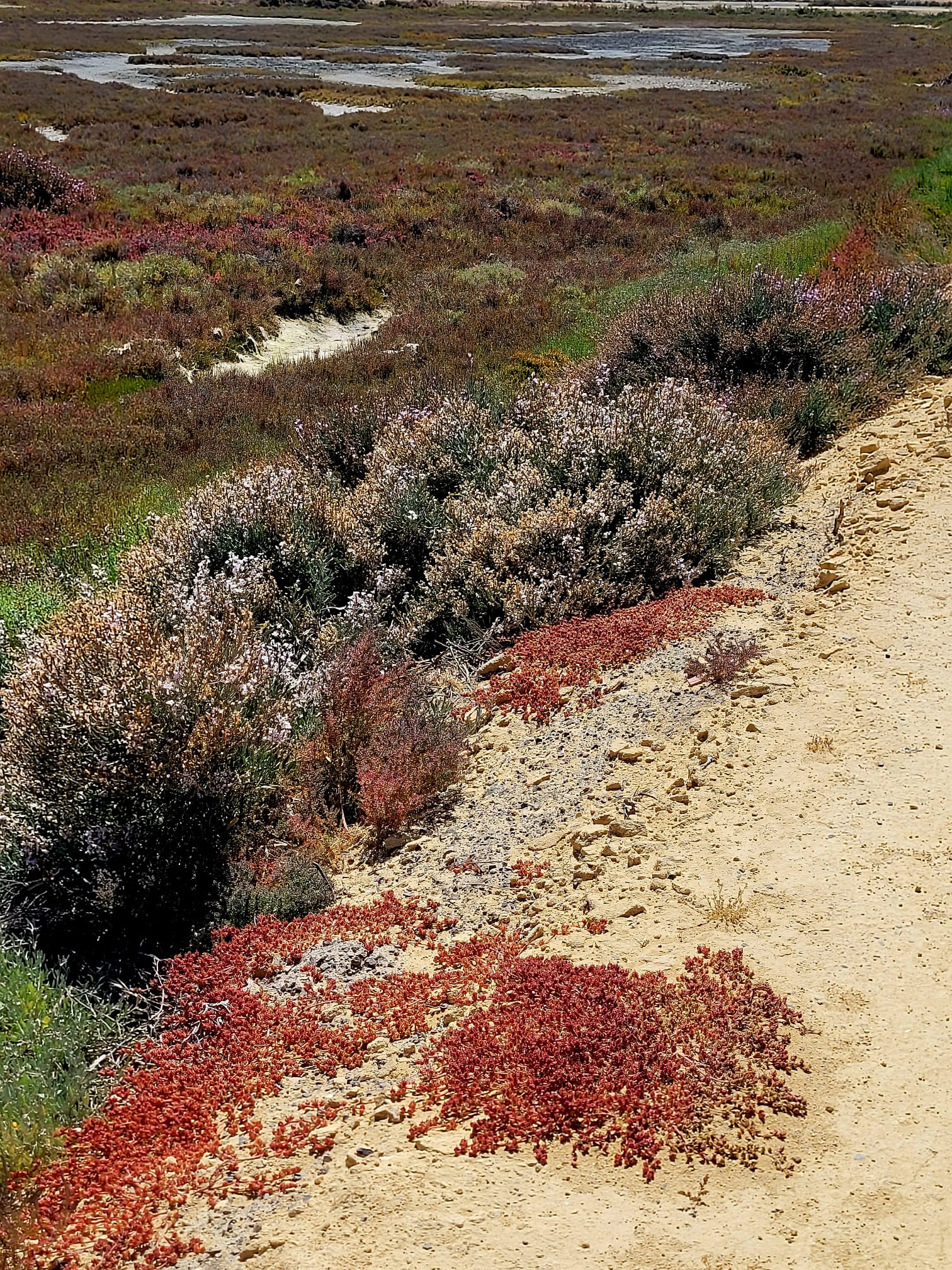
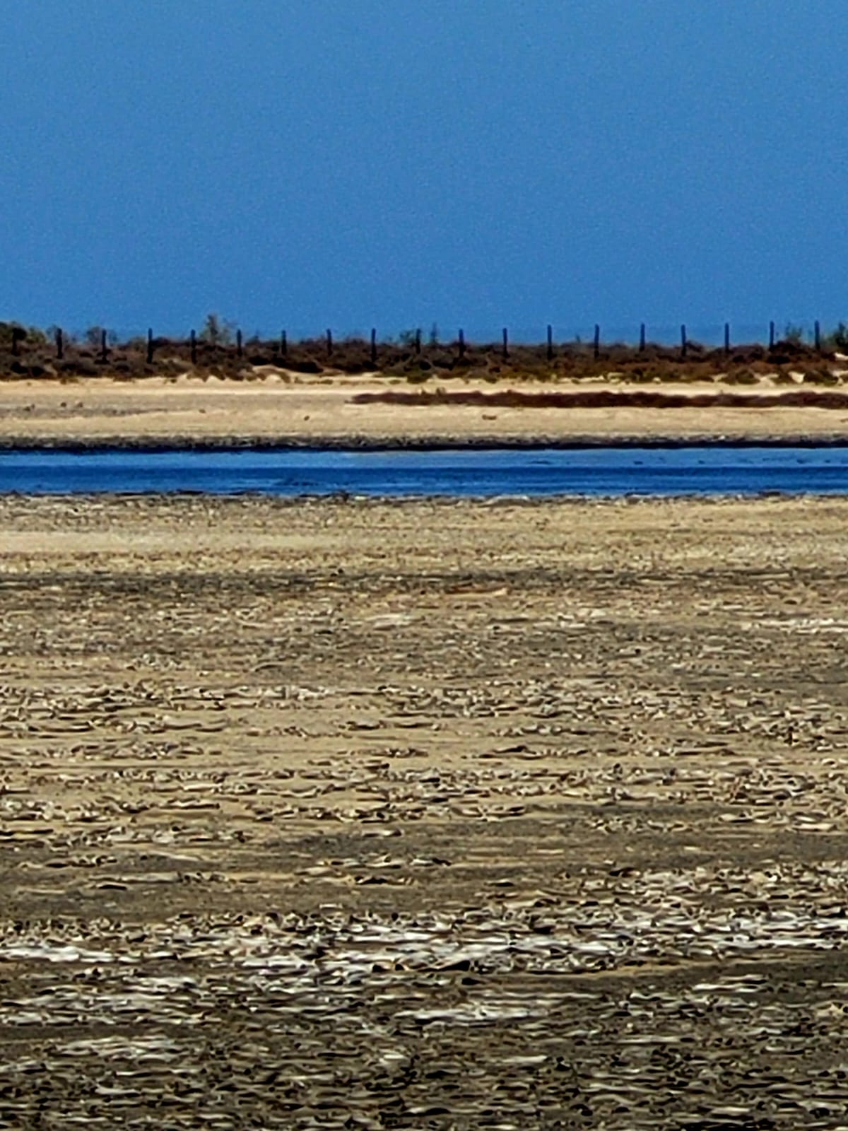
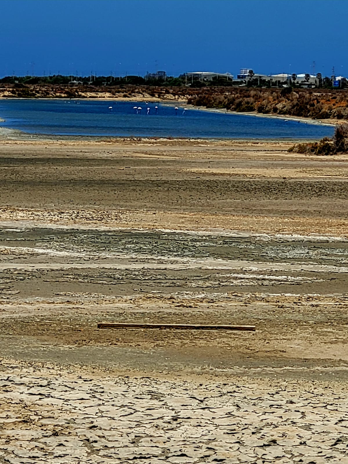
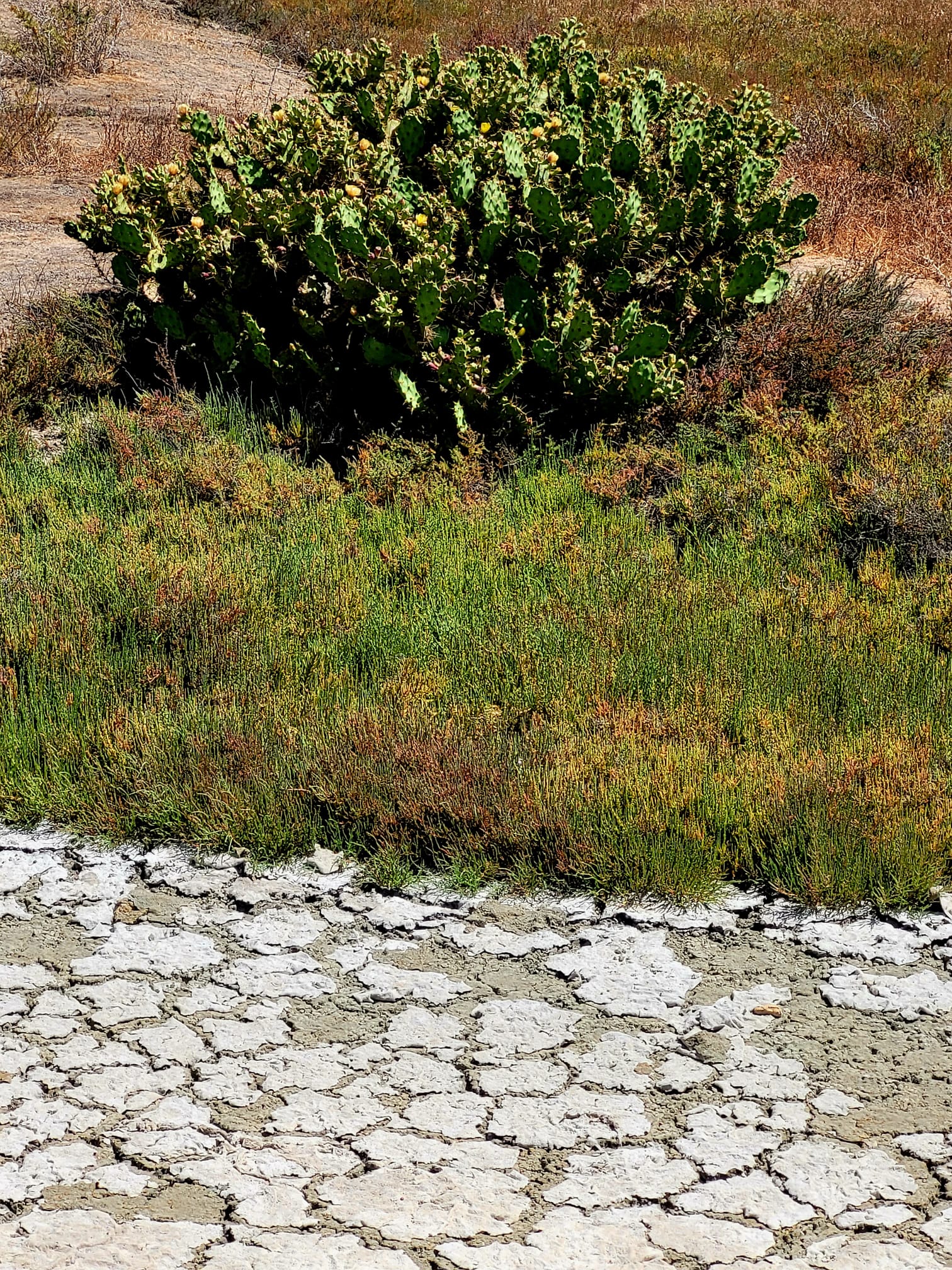
I relive and think of the sensations I felt when I pedaled along the paths of the Vaucluse region in the summer of my 13th birthday, in the middle of melon fields. The landscape has nothing to do with it, but the feeling of freedom does. Like the same gentle warmth on my arms. I feel the joy of the impatience of successive discoveries, my eyes running everywhere around the road. The Nature Park is home to different ecosystems: salt flats, tidal channels, wetlands, birds. I don't know where to look anymore.
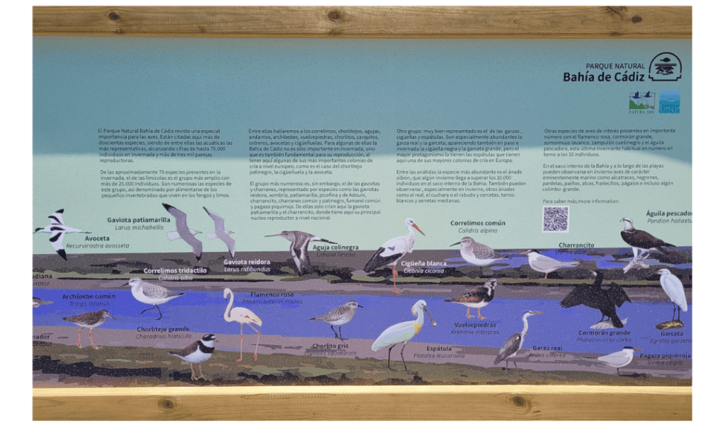
Over 200 species of birds are found here, with up to 70,000 birds in winter and over 3,000 breeding pairs . I'll find out later 👇
It's 2pm, there's not a bike or a walker on the horizon, and I'm alone in a Wild West landscape.
I take a long look at a white stilt sitting by the path at lunchtime.
I then drive to Camposoto beach in San Fernando; the large parking lot has filled up.
It's nearly 4pm now. I turn back, preferring to swim at the wilder Pointe de la Cortadura.
A well-deserved rest at the end of the day after my miles on the bike. The saddle becomes uncomfortable. I finally put down my towel, surrounded only by two umbrellas 10 meters away. At this point, the beach is no longer supervised and buoys indicate an area of strong currents to be avoided. A sign (yet another one) where I've parked my bike tells you what to do if you get caught in the current. In short, a bay area.
I stay here on La Cortadura beach, wild yet urban. I bathe, bask, revel in my ideal day.
➽ SCROLL down to discover🍀my day in pictures👇
Which birds to discover? A Prévert inventory*.
For bird lovers.
And for those of you who, like me, have learned new bird names to say in all circumstances 😉
- Gulls and terns (water birds)
Yellow-legged Gulls and Little Terns nest here, where their main breeding grounds are located.
- Herons, storks and white spoonbills
Grey herons and little egrets are particularly numerous. Black storks and great egrets appear during migration and wintering.
The "stars" are the Eurasian spoonbills, which have one of the largest nesting colonies in Europe.
- Anatidae (palmipeds with flattened beaks)
Over 10,000 whistling ducks are counted in winter in the inner part of the bay. Also in winter, mallards, shovelers, long-tailed ducks, green-winged teal and medium-billed teal can be observed.
- Other species
The pink flamingo, great cormorant, great crested grebe, black-necked grebe and osprey take up residence in winter.
- Especially in winter
Gannets, puffins, scoters, shearwaters, peacocks, penguins, skuas and the occasional great grebe.
* French adaptation of the sign in the Park
🍀To learn all about the birds of the Bay ➽ CLICK to get the Official Guide to the Bay of Cadiz Natural Park (in Spanish)
What you need to know
This bike ride is part of the "Ruta Mediterranea de cicloturismo" (Mediterranean Cycling Route).
EUROVELO 8, a European initiative to develop bicycle lanes on a European scale.
Cadiz is the first stage of the "Ruta EUROVELO 8" (EUROVELO Route) of cycle paths.
- 7350 kms of cycle paths
- 23 UNESCO World Heritage sites
- 10 countries visited from Cadiz, the first stage in Spain, to Athens, Greece, Cyprus and Turkey.
In the province of Cadiz, the road takes you to the southern tip of Spain at Tarifa, to the last village in the province: Castellar de la Frontera, from where you can see Gibraltar, over 100 kms from Cadiz.
🍀 CLICK on this link to highlight EUROVELO 8
You can download the complete route guide and the 10 countries crossed, download the route in GPX format, and download the app for Android and Apple.
LA BOLONIA BEACH
Why is Bolonia beach called Bolonia?
The answer is almost in the question. But first of all, where is Bolonia beach located?
La Bolonia beach is on the southern route between Cadiz and Tarifa.
One of the most beautiful beaches in Europe, they say. And it's true.
I invite you to take the plunge. Throw yourself in? It's a strong word, but it defines the feeling I get when, 17 kms before Tarifa, Eli and I fork off to the right.
We wind our way along a Corsican-style road. Cows catch the eye on the left, the eye on the right. We're in the Estrecho Natural Park, watering holes in the distance, huts: the "pampas", as I say colloquially. Our eyes climb, and after the last bend to the left, they drop down to the sea. Ahead of us, Morocco. Just ahead, in the foreground, the beach and its dune. A 30-metre-high dune, the Andalusian little sister of of the Dune du Pilat. A sumptuous panorama.
Holidaymakers flock here in summer, and also visit the ruins of the Roman town of "Baelo Claudia" on the road that continues to the right of the dune.
Pierre Paris, a French archaeologist, discovered this city at the beginning of the 20th century during an excavation. It remains almost intact, protected by layers of sand.
Construction of Baelo began in the 2nd century BC, during the reign of Emperor Augustus. Its heyday came during the reign of Julio Claudia, in the middle of the 1st century BC. The town was renowned for its salting warehouses, from which garum was produced: a refined condiment made from fermented wild fish and salt.
➽ To find out more about Baelo, click here
So why is the beach called Bolonia?
Quite simply then, because of Baelo, which would have drifted into Baelonia and ended up as Bolonia. CQFD 😉